
Where to See Wildflowers
Want to know what’s blooming in your neck of the woods?
We’ve got you covered with our seasonal bloom reports and photo albums,
wildflower driving routes and hotspots.
bloom report
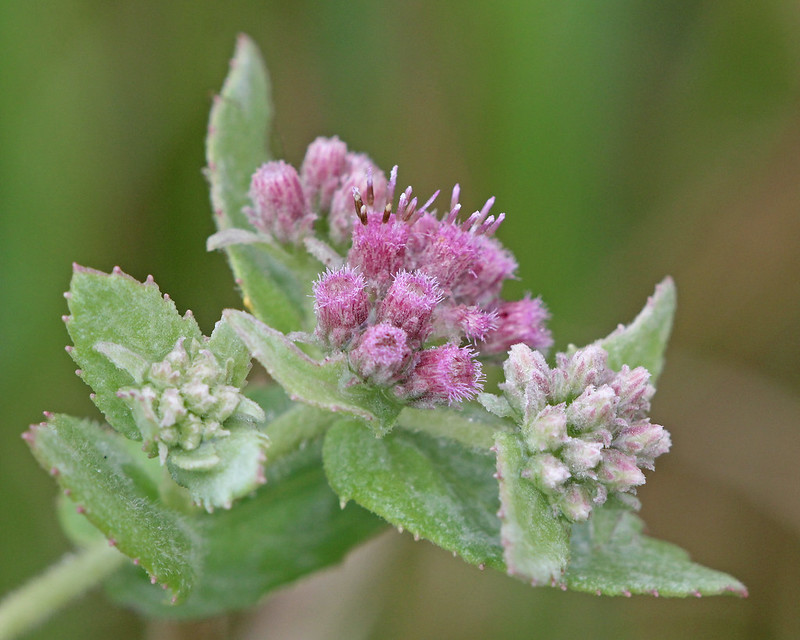
Meet Florida’s “Milk” Plants
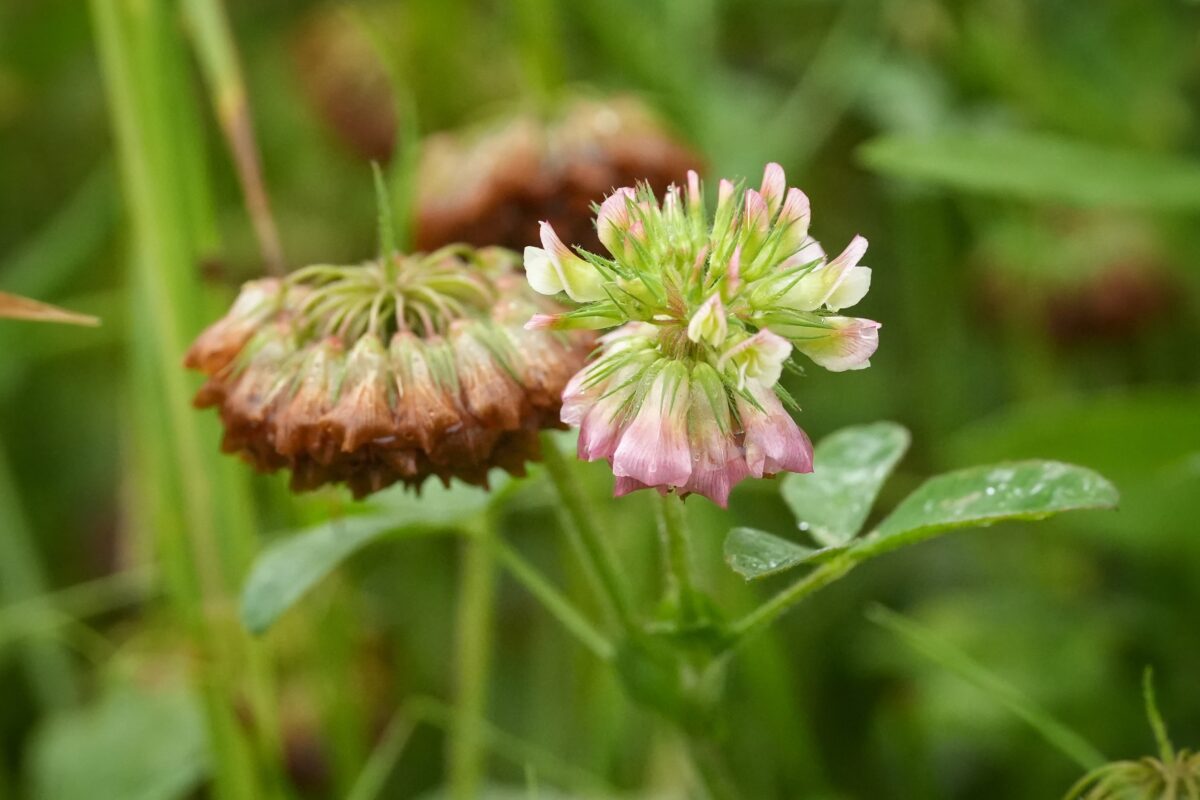
Twenty-three Milkworts occur in Florida, and all are native to the state. Three are endemic, found nowhere else on earth, and two of those are endangered.
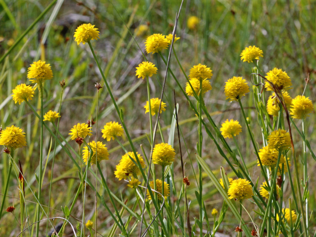
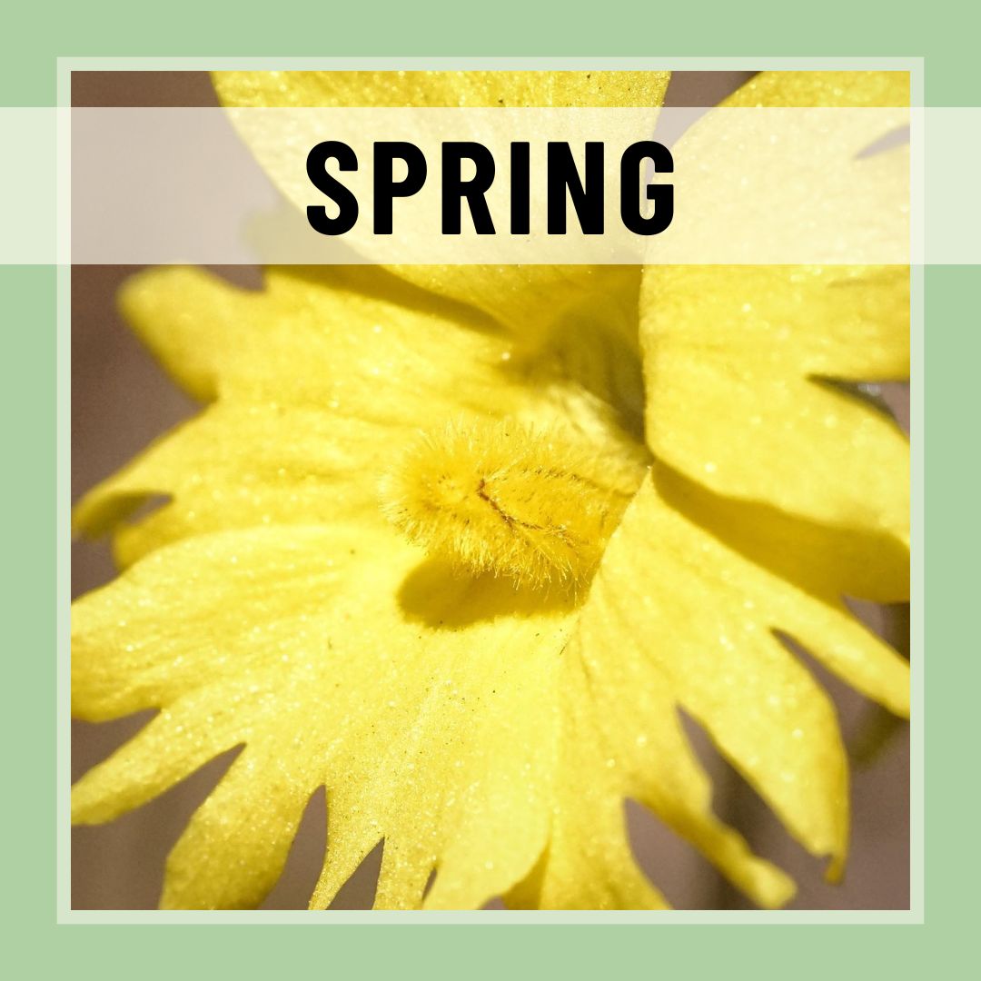
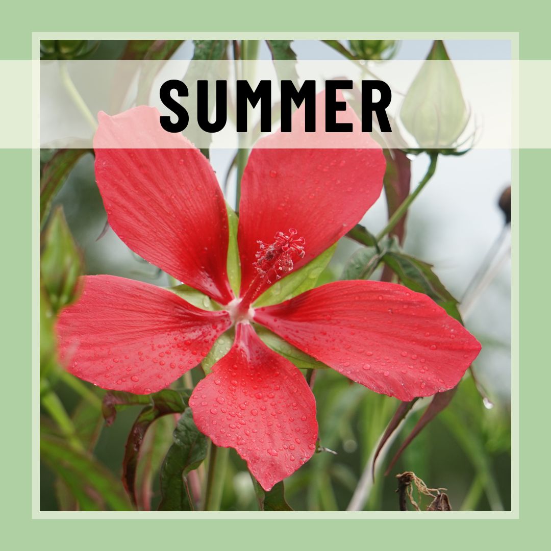
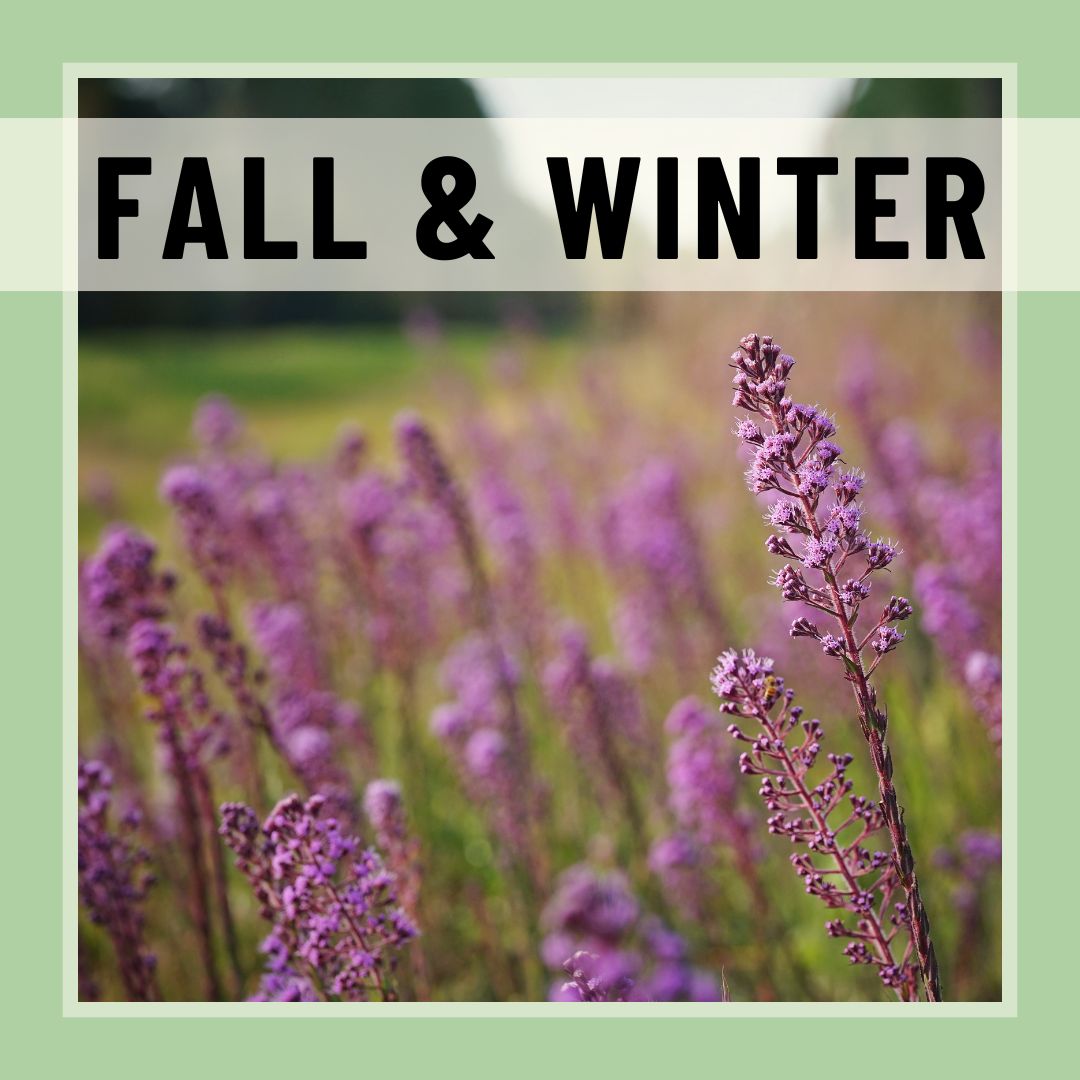
What’s in bloom?
Click on the images below to see photos of seasonal blooms across the state!
Help us grow these seasonal photo collections! Simply email your native wildflower photos to Photos@FlaWildflowers.org. Be sure to include your name, the plant’s name (scientific name preferred), location, and the date on which the photo was taken.
What’s in bloom?
Click the slider icon on the map below to select spring, summer and/or fall. Then click on a flower symbol to see each user-submitted photo of what’s blooming in different parts of the state.
Have a wildflower sighting to share? Submit it to photos@flawildflowers.org with species name and the location so we can show it on the map! (Don’t know what species it is? We can help identify it. Be sure to describe the habitat in which it was found growing.)
Click it,
don’t pick it!
Many native wildflowers reproduce only by seed. Picking a flower reduces the ability of a population of wildflowers to sustain itself.
It’s the law
Picking the flowers of any endangered or threatened species is illegal in Florida (Florida Statute 581.185).
Don’t be a hazard
Stopping alongside a road can be hazardous to you and other motorists. It’s best to view roadside wildflowers from your vehicle.
See what plants are in bloom now!
Take to the road to see what’s blooming
Whether looking to cruise the roadways or get out in nature to find wildflowers, we’ve got you covered.
Know before you go! Check out these online resources to learn more and help you explore:
- Visit our Flickr site and Florida Wildflowers Flickr group.
- Follow FlaWildflowerWatch on Instagram and use #flawildflowers for a chance to have your photos featured.
- Use the online Atlas of Florida Plants to discover the range of different species.
- iNaturalist is a great resource for determining optimal bloom times and ranges of wildflowers. It is also very useful for plant identification!
Wildflower hotspots
Where can I find wildflowers?
Florida has over 15 million acres of public lands to explore including 175 state parks, 11 national parks, over 180 wildlife management areas, 39 state forests, 3 national forests, water management district lands, and local municipality and county parks.
Statewide
- Find a state park
- Florida’s national parks
- FWC wildlife management areas
- State forests
- Florida’s national forests
- Water Management District lands: Northwest Florida | Suwannee River | St. Johns River | Southwest Florida | South Florida
North Florida
- Goethe State Forest – Alachua and Levy Counties
- Apalachicola National Forest – Franklin, Leon, Liberty and Wakulla counties
- Ralph E. Simmons State Forest – Nassau County
- Jennings State Forest – Clay County
Central Florida
- Ocala National Forest – Marion, Lake and Putnam counties
- Merritt Island National Wildlife Refuge – Brevard County
- Seminole State Forest – Lake County
- Charles Bronson Wildlife Management Area – Orange and Seminole counties
- Wekiwa Springs State Park – Orange County
- Tosohatchee Wildlife Management Area – Orange County
South Florida
- Kissimmee Prairie Preserve State Park – Okeechobee County
- Corkscrew Swamp Audubon Sanctuary – Collier, Hendry and Lee counties
- Big Cypress National Preserve – Collier, Monroe and Miami-Dade counties
- Everglades National Park Royal Palm – Miami-Dade County
Wildflower routes
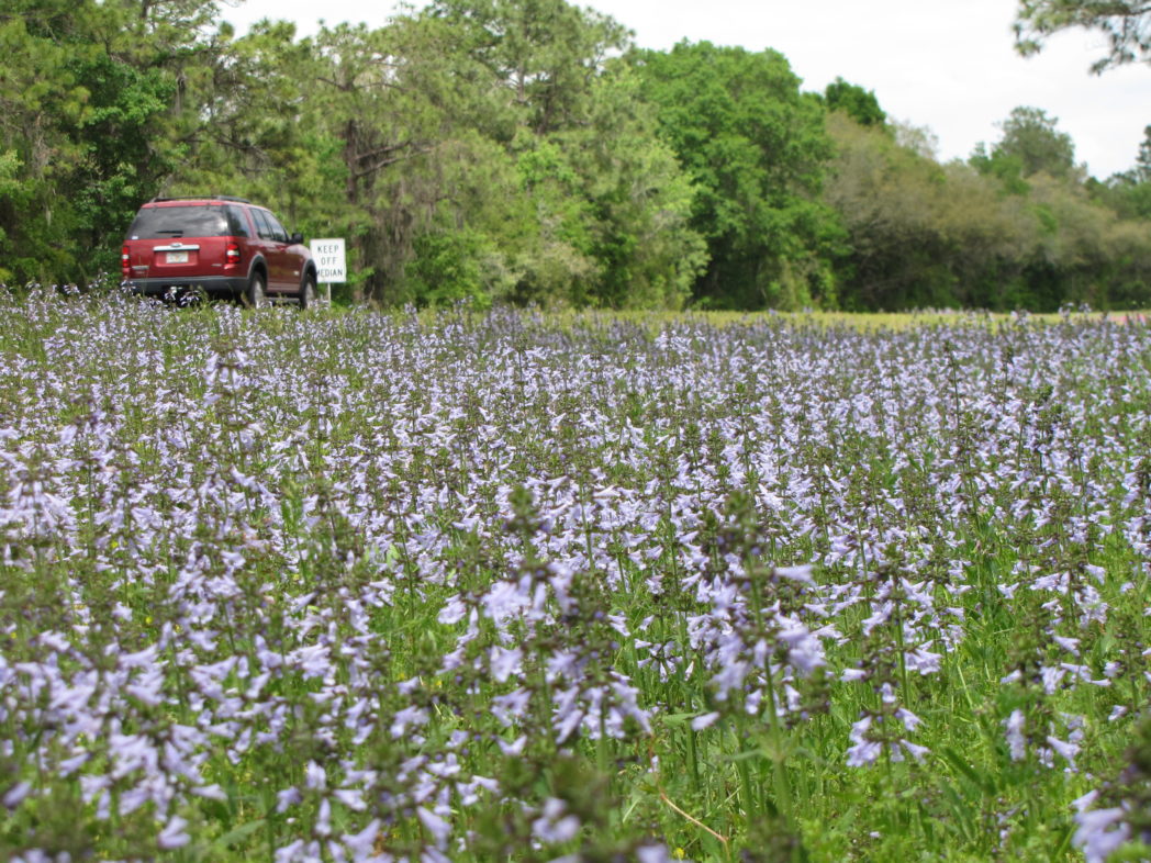
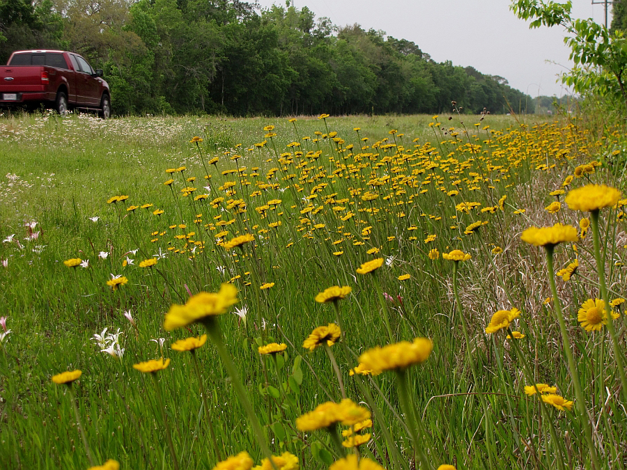
Roadsides provide the open, full-sun conditions that many wildflower species need to survive, making them ideal places for opportunistic wildflowers to spring up. The Foundation has documented species along roadsides in several areas of the state, noting their location and abundance.
North Florida
- Panhandle wildflower routes brochure
- St. Johns River to the Sea Bike Loop
- Big Bend Wildflower Route
- Big Bend Scenic Byway
- State Road 65, between Telogia and Sumatra
- State Road 9A, between Gate Parkway and Baymeadows Road, Duval County
- State Road 26, west of Gainesville
- State Road 100, Keystone Heights; also between Bunnell and Palatka
- State Road 228, just north of State Road 23, Duval County
- State Road 500/ U.S. Highway Alt. 27, Chiefland to Williston
- U.S. Highway 27, from north end of Perry for about 3-4 miles
- U.S. Highway 27, Suwannee County
- U.S. Highway 27/98, Dixie and Levy County
- U.S. Highway 90, between Lake City and Live Oak
- U.S. Highway 301 at the Florida/Georgia border, Nassau County
Central Florida
- I-75, Pasco County
- Florida’s Turnpike
- Lake County Wildflower Route Map
South Florida
- Corkscrew Swamp Wildflower Route — Collier County
- Loop Road Scenic Drive — Collier County